Turkey’s Position on the World and World Map

Trade and transportation between Asia and Europe is carried out through three main corridors. The “Northern Corridor” in which Russia is located, the “South Corridor” passing through Iran and the “Middle Corridor” including Turkey are of strategic importance for many countries. However, Russia’s attack on Ukraine has exacerbated the already discussed security problems in the Northern Corridor. The Southern Corridor, on the other hand, is considered risky due to embargoes against Iran and conflicts in the Middle East.
This situation made the Central Corridor, which crosses the Caspian Sea and stretches from Turkmenistan and Kazakhstan, then from Turkey to the Caucasus, and from there to Central Asia and China, even more valuable.
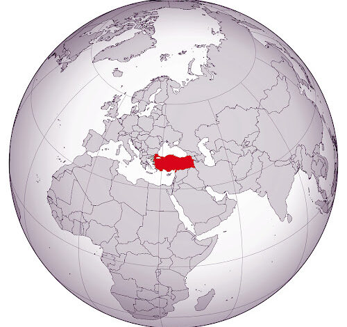
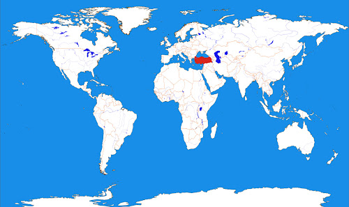
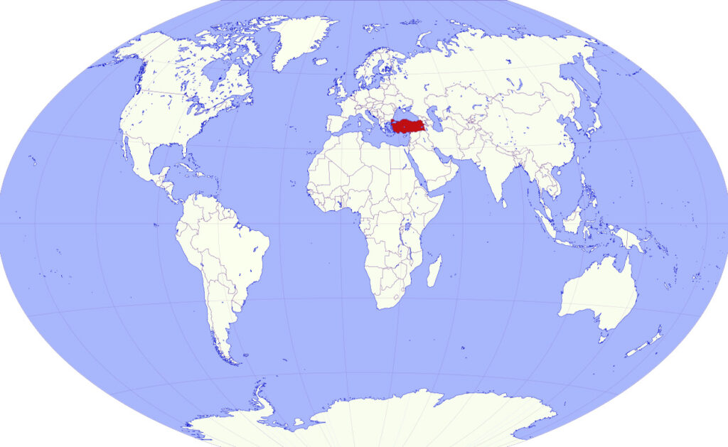
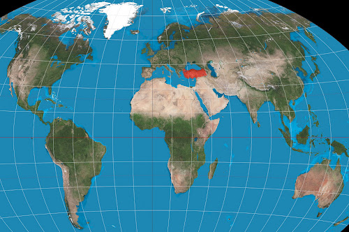
Turkey on World Map
Turkey is located between the 36th and 42nd north latitudes and the 26th and 45th east meridians. There is a time difference of 75 minutes between its east and west, its width is 1,660 kilometers. Its projection area is 783.562 km 2 and it is in the 37th place in the world in terms of the area it covers. It is surrounded by seas on three sides; There is the Aegean Sea in the west, the Black Sea in the north and the Mediterranean Sea in the south. To the northwest is the Sea of Marmara.

Turkey is a Eurasian country with territory on both continents. About 97% of it is located in the Asian continent, this part is also called Anatolia. The remaining 3% is located in the European continent, this part is also known as Eastern Thrace or Rumeli Side. Bozcaada and Gökçeada are the many islands in the Aegean Sea that belong to Turkey.

In the Eastern Thrace part of Turkey, it has borders with Bulgaria and Greece. Georgia in the northeast; Armenia, Azerbaijan (Nakhchivan Autonomous Republic) and Iran in the east; It borders with Iraq and Syria in the southeast.


