Kınık is one of the smallest districts of İzmir with less than 30.000 population. The district is located 119 km. away to the city center. The district, whose history dates back to the Roman Empire, takes its current name from the Kınık tribe of the Oghuz Turks’. The economy of Kınık is based on agricultural activities. At the last years, tourism activities started to develop with some investments in the district.
Check out the most comprehensive Kınık district guide now. You will find the answers of many questions like “Places to see in Kınık ” or “How to get to Kınık ?” in this guide.
District Name
City
Population
Population Density
Population Growth Rate
Surface Area
Number of Neighbourhood
Kinik
Izmir
28.802
71 / km2
-3,36 %
479 km2
26
Do you want to get detailed information about hospitals in Kınık ? If you’re, our special health guide will be helpful for you. In Kınık, there are 1 state hospital named as Kınık State Hospital in the district.
If you are looking for real estate for sale in Kınık or real estate for rent in Kınık, you are on the right page. As of the end of October 2020 in İzmir, Kınık district, the prices of houses for sale increased by 3.45% in the last year. Average for sale residential property size is 125 square meters. Considering the annual averages, the neighborhoods that gained the most value in İzmir Kınık district as of the end of October 2020 were Türkcedit and Yenimahalle respectively.
Accommodation in Kınık is an important issue for people who visit city for different purposes like tourism or business. You can find a few accommodation alternatives in Kınık. Many people prefer to stay in Bergama city near Kınık.
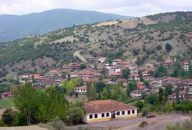
Check out the “Best places to visit in Kınık” or “Top 10 things to do and see in Kınık” questions in this guide. Kınık has an important place for Turkish history, so the district takes its name from Oğuzs. Beşiktaş Hill, which reflects the history of the district, is one of the places that can be seen in Kinik. In addition to being the hill that sees the district from the highest point, the hill where Bergama and Bakırçay Plain can be easily observed takes its name from the baby cradle view. If you happen to be in Kınık, you can turn your route to Boncuk Lake to spend some time with nature. You can barbecue at Boncuk Lake, located between Kınık and Poyracık, and spend a quiet day among the chirping bird sounds. The Asar Kale, which looks like a Tumulus in Kocaömer Village, built in the Ottoman period, Cumalı Mosque in Cumalı Village and Yıldırım Mosque in Poyracık Village are among the other structures that have survived to this day.
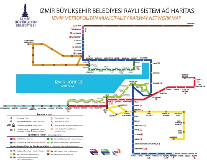
There are bus services from city center to Kınık district. Check out the İzmir railway network map below :